Site selection map
PlanSolar resource mapping
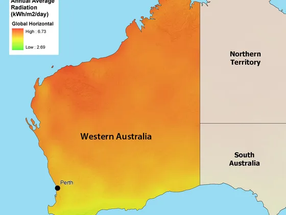
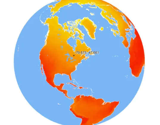
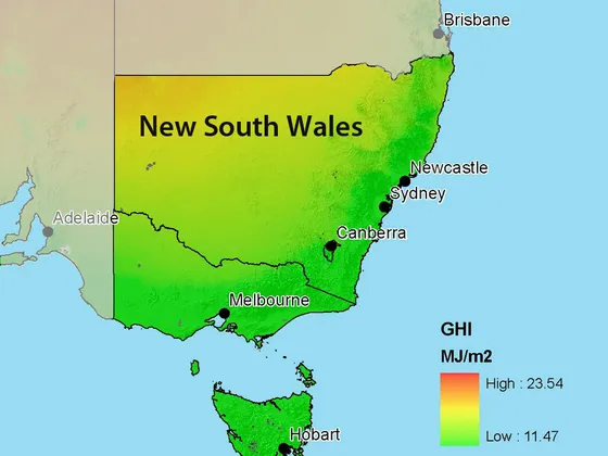
We maintain a global data set of horizontal, diffuse and direct normal irradiance, updated every half hour from in-house satellite processing. The same data has supported projects in Canada, the United States, Australia and the Middle East. Delivered as interactive GIS, it layers topography, shading, grid proximity, roads, soil type and protected areas so candidate sites compare directly.
Plant design model
DeployDesign, getting it right the first time
We bridge solar technology and its efficient deployment with impartial analysis of a site's suitability. As part of an integrated design team, our energy engineers treat energy performance as central to plant design, and use detailed modelling to maximise the resource a plant can capture.
Forecast dashboard
OperateSolar yield forecasting
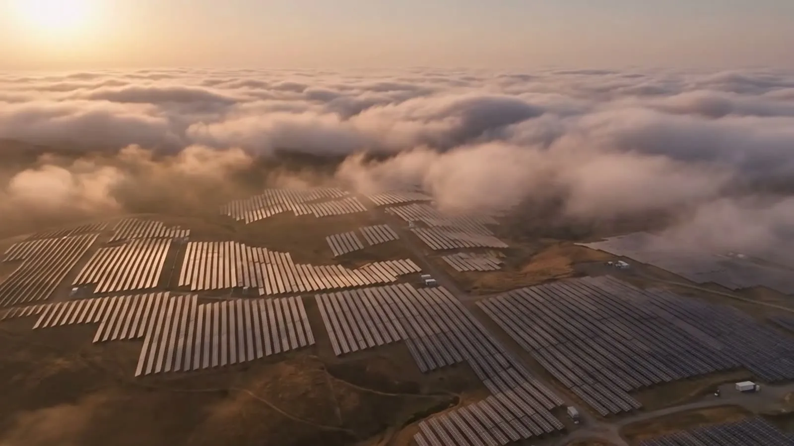
SolarSatData™ delivers site-specific generation forecasts as a service, improving operational planning for both maintenance and energy sales. Specialised modules account for local phenomena such as the coastal marine layer that affect available resource and forecast accuracy.